Barker's Bush Trail
To shorten the walk to 5 km
you can delete the 1 km Distillery Hill at the end
if you walk the Main Loop counter clockwise.
START / FINISH / PARKING
It is suggested you use the parking lot off Broadway
Street West (43.1924567,
-80.386284). In the summer of 2024 the signage
indicated it is a 24 HOUR parking lot and there was
no charge.
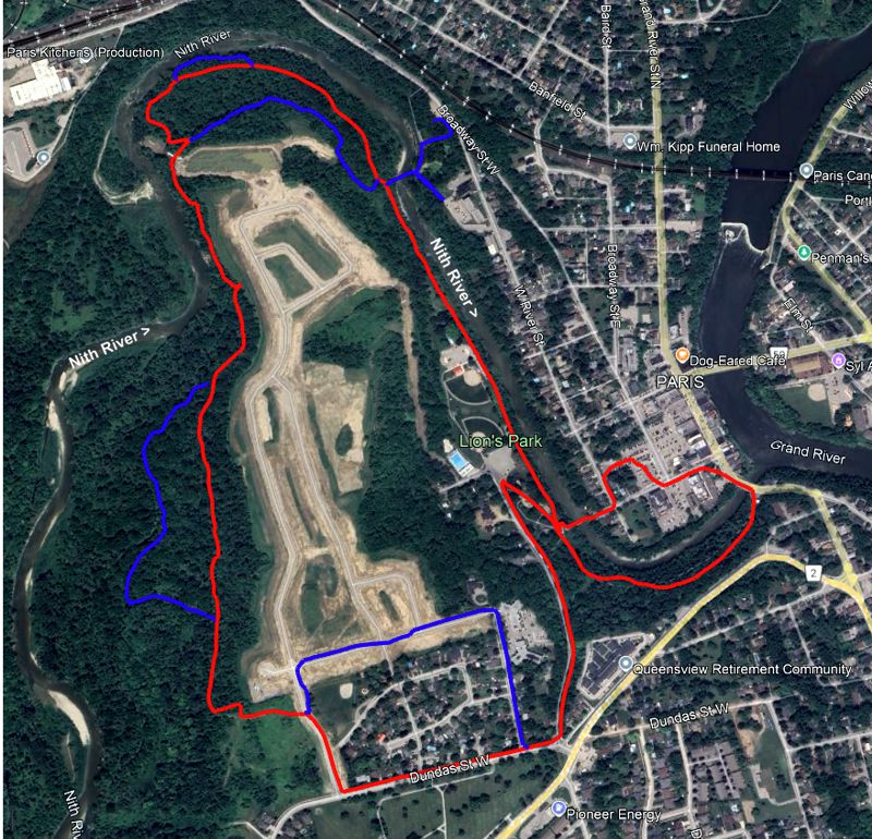
Inert Map of This Walk
Red
Line = 6 km Loop
Active Google Map &
.gpx/.kml files
appear at bottom
of this web page.
Entrance to Lion's Park
Google Street View

Lion's Park Entrance,
Mechanic Street
43.191469, -80.387034
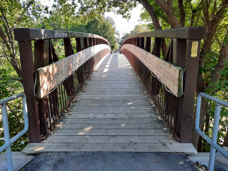
Along Sensory Trail - Xylophone
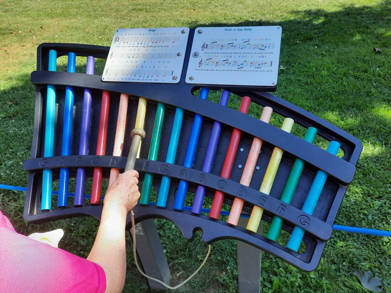
Along Sensory Trail - Blue
Rainstick
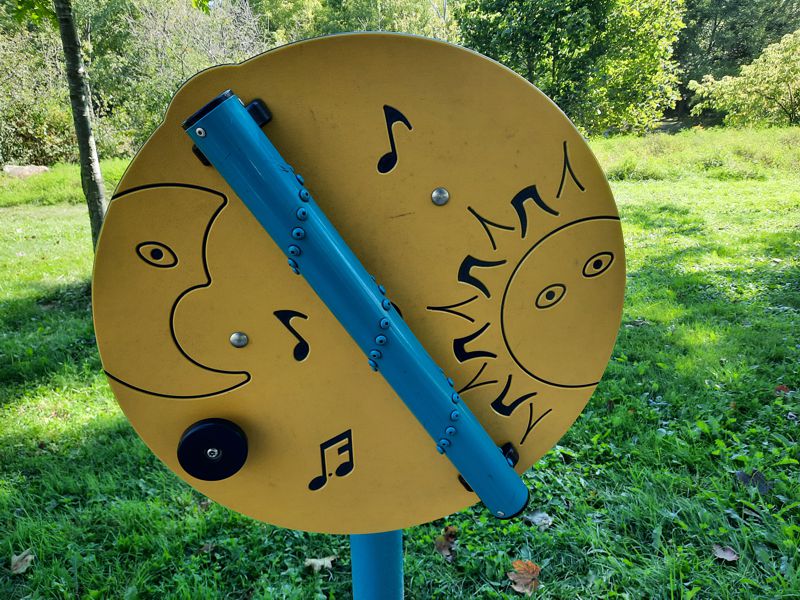
Along Sensory Trail - Musical Flowers
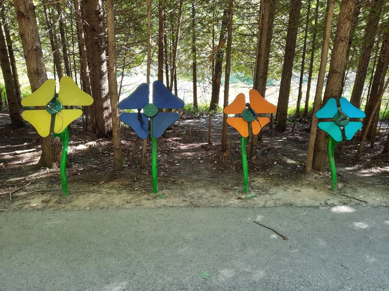
Along Sensory Trail
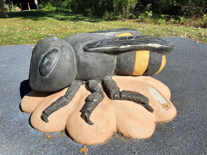
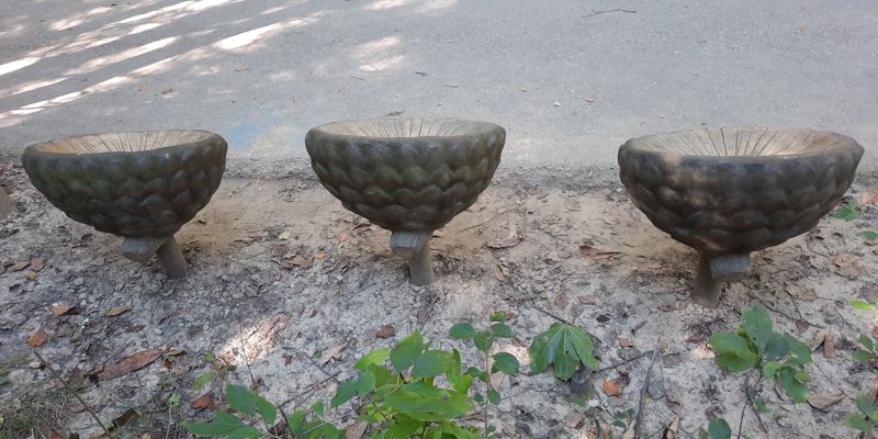
Along Sensory Trail - Acorn
Cap Seats
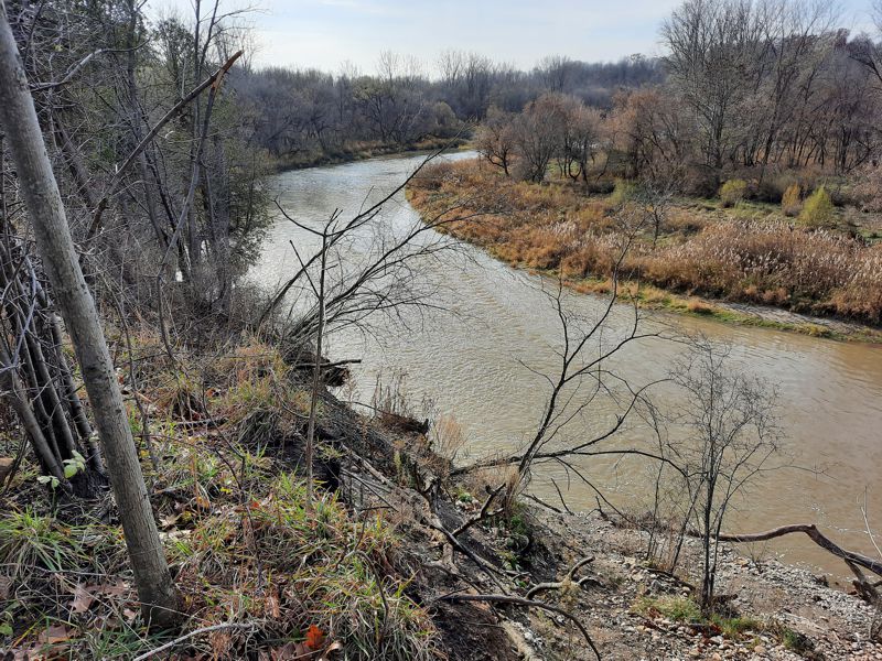
Nith River
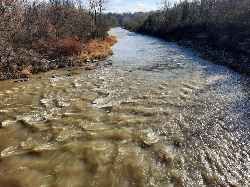
Nith River
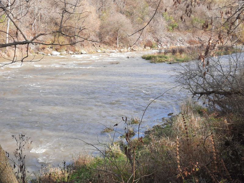
The Meandering Nith River
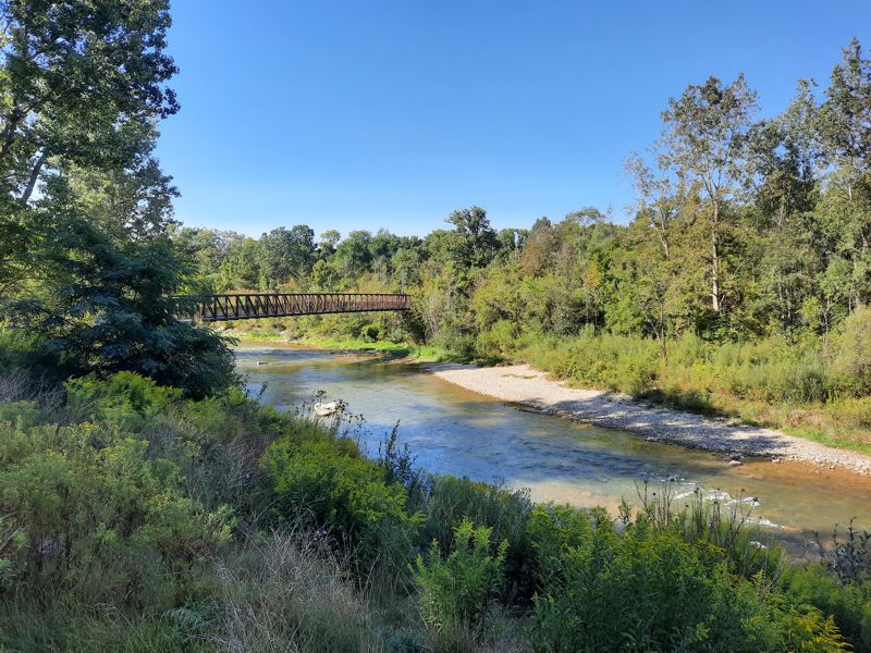
Penman's Pass Bridge Over Nith River
43.197882, -80.391431
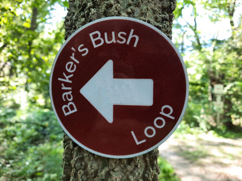
Typical Directional Symbol
along the Main & Short Loops
Junction of Barker's Bush Main Loop and Barker's Bush
Short Loop
Location:
43.198590, -80.396850
(approx.)
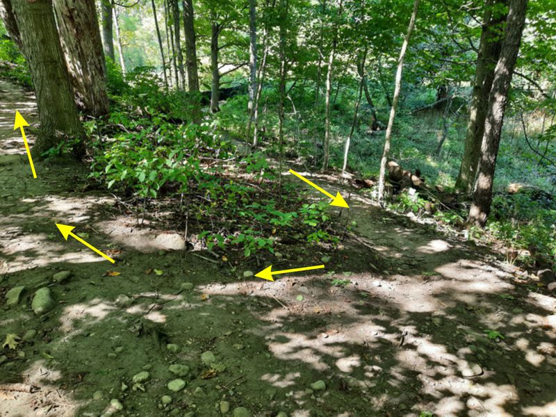
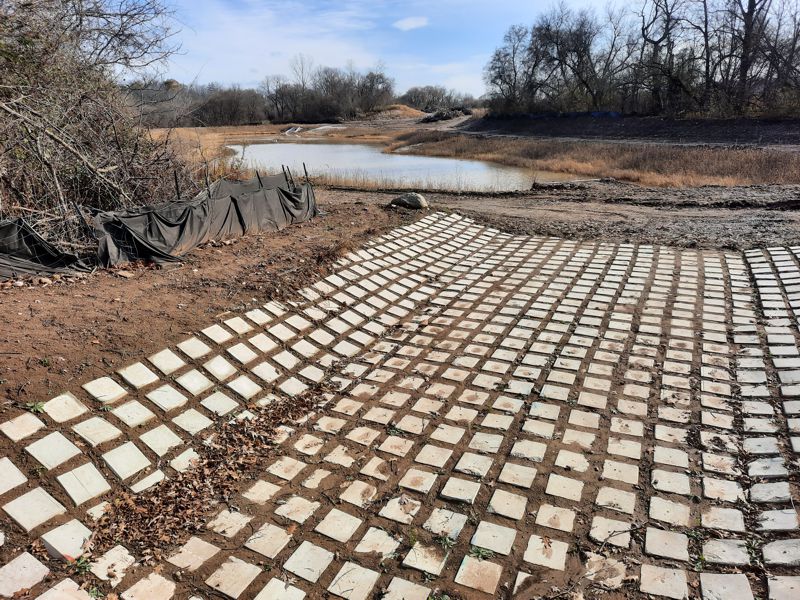
Trail up to a new bridge over stormwater spillway
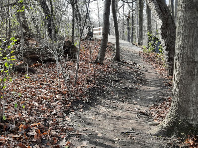
Main Loop trail UP to a new
bridge over stormwater spillway
- note Nith River mid-right -
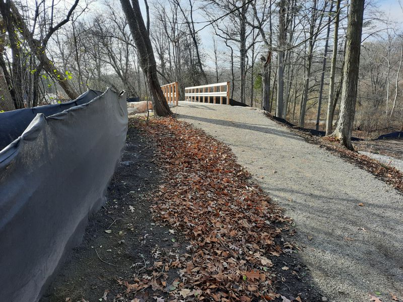
New bridge (2023) over
stormwater spillway
Nith
River, not visible in picture,
is off to right
43.198276, -80.397178
(approx.)
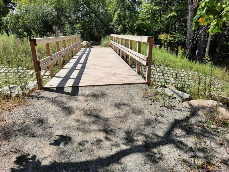
View from new bridge (2023)
over stormwater spillway
43.198276, -80.397178
(approx.)
looking inland
toward
new housing
development.
New bridge (2023) over
stormwater spillway
43.198276, -80.397178
(approx.)
Note Nith River
flowing to right
(southward)
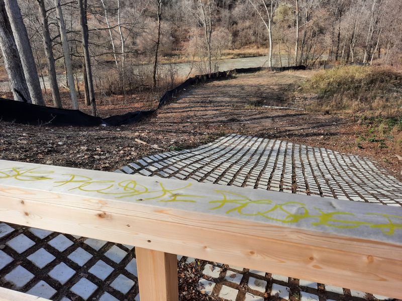
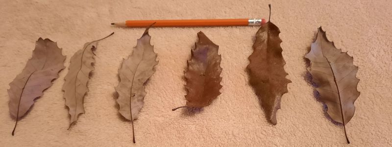
If you cross this bridge at the spillway, you are following trail marks/symbols for the Main Loop. You veer left in a southward direction with the Nith River visible at times to your right. The signage tends to keep you on a higher level footpath. The Google Map below shows some of the lower level footpaths. As you proceed southward on the higher level footpath you will soon notice some housing to your left. Watch for some rare, special oak leaves (see information below). Eventually you will veer off the footpath and up into a portion of the housding development. Keep in mind that this information was collected and posted in 2024 and the exact nature of the exit at the south end of the housing development may become altered.
Chinquapin Oak
(Quercus muehllenbergii)
Leaves?
Fall 2023: We
found oak leaves like these on
the ground that resemble
Chinquapin Oak Leaves
Interative Google Map
Red
Line = 6 km Loop
GPS Tracks for Download
HELP: If clicking on the links does not provide a download option, try RIGHT clicking the link (especially the .gpx file) and then choose "Save Links As" (or equivalent) from the drop-down menu. Pick a download location (e.g. desktop) for the file.
BarkersBushHikeFINAL_2024SEP12.gpx
OR BarkersBushHikeFINAL_2024SEP12.kml