F.W.R. Dickson Wilderness Area
IMPORTANT UPDATE
SOME of the information on this web page was created and posted at least six years ago before improvements were made to the trails/boardwalk at F.W. R. Dickson Wilderness Area. My family and I have frequented this area and the adjacent lakes for several years (since maybe 1970). In the past, I have led group hikes and snowshoe outings from F.W.R. Dickson Wilderness Area over to Wrigley's Lake and Bannister Lake and back.
In 2018 the F.W.R. Dickson Wilderness Area underwent a facelift. I encourage you to read about such changes and improvements located in this Grand River Conservation Authority web page. [If the link no longer works, you may access a "facelift" PDF here.]
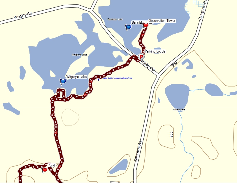
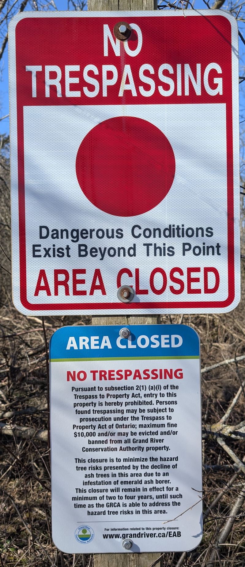
As a result of the 2018 facelift, some of the information below is outdated. For example, the shorter loop within the F.W.R. Dickson Wilderness Area (from parking lot out around the kettle lake & back) is an old track and has been changed in a few spots. Also depicted is the route over to Bannister Lake via Wrigley's Lake and back. Folks used to walk and/or snowshoe the route over to Bannister Lake. The route through Wrigley's Lake is closed. See reasons and other details at the bottom of this web page. GPS tracks (updated and old) are listed at the bottom of this web page in .gpx and .kml formats.
Check out
Waterloo Region Nature and
About Us
In October 2024
Waterloo Region Nature (WRN)
celebrated 90 years. WRN created badges for the five
most popular nature spots in Waterloo Region.
Apparently WRN recognizes about 37 nature spots in
total. Five badges were created: FWR Dickson
Wilderness + Schneider's Woods + rare Charitable
Research Reserve + Laurel Creek + Huron Naural Area
>
More Badge Details.
Who was F.W.R. Dickson?
 After serving in World War One, F.W.R. Dickson became a science teacher at Kitchener-Waterloo Collegiate and Vocational School for forty-one years before retiring in 1965. Mr. Dickson was involved with the plans for the Doon Heritage Village (The Waterloo Region Museum is the entrance to Doon Heritage Village.) He was an active volunteer with the Waterloo Historical Society.
F.W.R. Dickson (1898-1984), was a descendant of a pioneer Waterloo County farmer, served in World War I, graduated from the Ontario Agricultural College and the College of Education and taught science at the Kitchener-Waterloo Collegiate and Vocational School for forty-one years. He was director of the Academic School and football coach. He retired in 1965. His research and knowledge of pioneers proved invaluable to the Waterloo County Hall of Fame. He edited the Waterloo Historical Society's annual volumes for twenty-five years. The Waterloo Region Nature, in conjunction with the Grand Valley Conservation Authority, named eighty-three acres, "The F.W.R. Dickson Wilderness Area" in recognition of his outstanding service. Mr. Dickson is also a Waterloo Region Hall of Fame iinductee.
His interest in photography resulted in a very valuable collection of slides of historic Waterloo County buildings. He gave hundreds of free illustrated talks on Waterloo County history and natural history continuing his valuable work as a historian.
Where is F.W.R. Dickson Wilderness Area?
- FWR Dickson Wilderness Area web page
- FWR Dickson parking lot entrance 43.279782,-80.395918
- Bannister Lake 43.295284,-80.385807
- Bannister Lake parking lot entrance 43.292192,-80.385963
- Wrigley's Lake 43.292377,-80.392141
- Google Maps link of the area
Google Map of New Route/Data
This first Google map shows the present GPS track (red only) within the F.W.R. Dickson Wilderness Area as established since 2018. The GPS track (yellow) from the F.W.R. Dickson Wilderness Area over to Bannister Lake and back is an older track and is no longer viable. The Wrigley's Lake segment is closed but the trail and parking lot at Bannister Lake are open. SEE/READ SIGNAGE IMAGE AT BOTTOM OF THIS WEB PAGE.
Google Map of Old Route (outdated, see message above)
PRE-2018 ROUTE (partially outdated)
SEE IMPORTANT UPDATE AT TOP
& BOTTOM
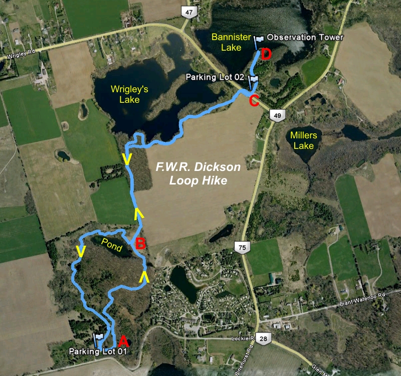
PRE-2018 ROUTE (outdated)
SEE IMPORTANT UPDATE AT TOP
& BOTTOM
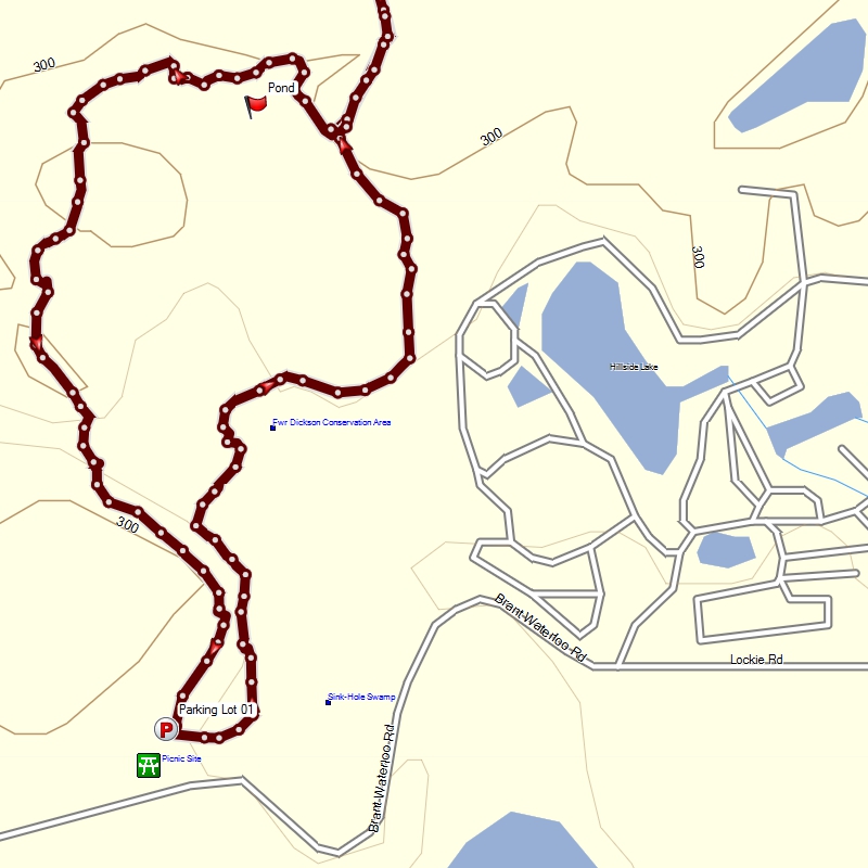
PRE-2018 ROUTE
SEE IMPORTANT UPDATE AT TOP &
BOTTOM
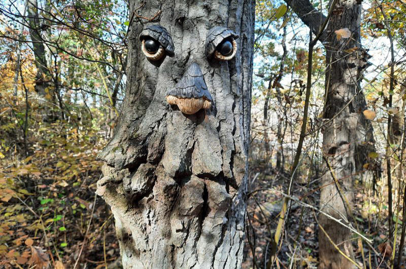
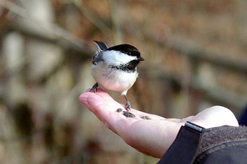
"Friendly Resident"
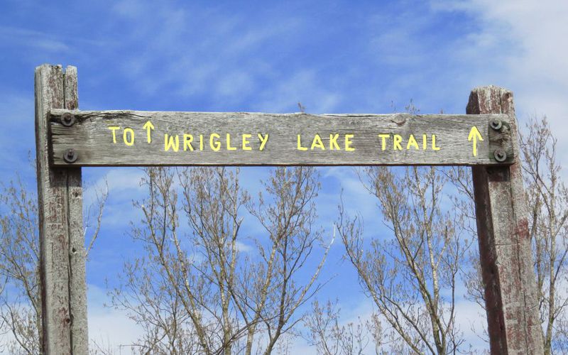
Former Sign (no longer exists)
This sign used to be
located at approximately
43.285271, -80.393633
The fence row over to Wrigley's Lake is
no longer clear and the trail in Wrigley's Lake is closed.
See
signage image near bottom of this web page.
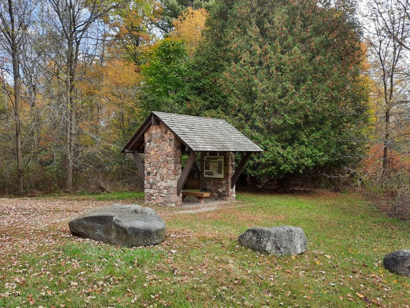
New Shelter/Display at FWR Dickson Parking Lot
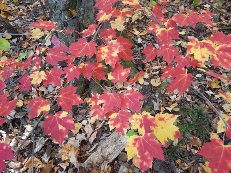
Fall Maple Leaves
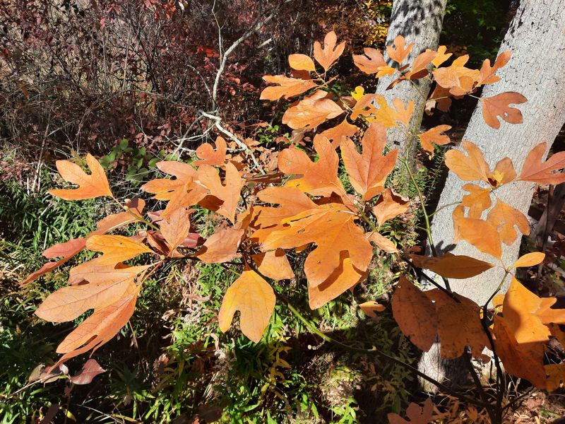
"Mitten" or Sassafras Tree
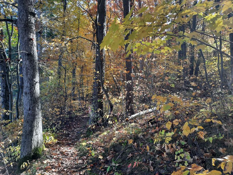
Trail (Fall)
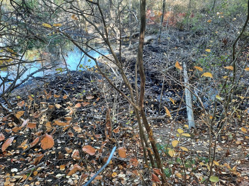
Beaver Dam 2024
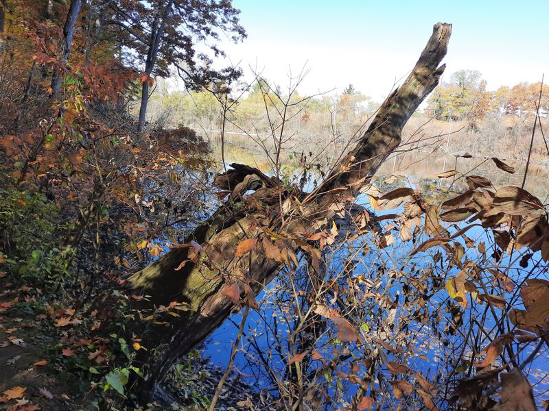
Kettle Lake
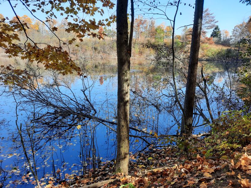
Kettle Lake
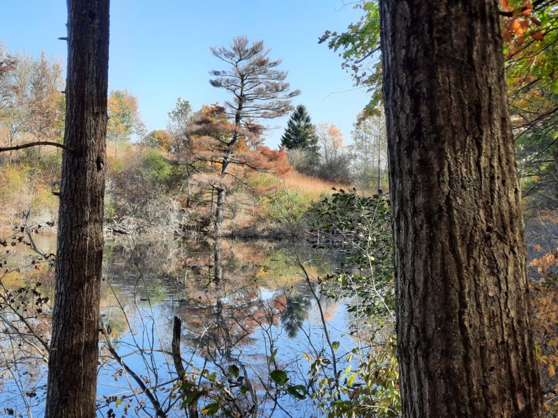
Kettle Lake Another View
WRIGLEY'S LAKE TRAIL CLOSED
This signage is located at approximately
43.292416, -80.3865526
just off Wrigley Road across from the Bannister Lake parking lot.
GPS Tracks for Download < Some data outdated see details above
HELP: If clicking on the links does not provide a download option, try RIGHT clicking the link (especially the .gpx file) and then choose "Save Links As" (or equivalent) from the drop-down menu. Pick a download location (e.g. desktop) for the file.
LATEST GPS TRACKS
FWRDickson_NEW.gpx OR FWRDickson_NEW.kml
OLDER GPS TRACKS (Pre-2018)
FWRDickson.gpx 5.5 km OR FWRDicksonShort.gpx 2.2 km OR FWRDicksonLoop.kml - 5.5 km
