Petersburg Crown Lands
4 to 6 km loop walk (or more)Introduction
The Petersburg Crown Lands are a popular hiking and cross-country skiing venue. Located south of Highway 7/8 on the east side of Queen Street, this forest is administered by the Ministry of Natural Resources (MNR). The woodlot contains over 4 km of multi-use trail as well as additional informal trails. The MNR lands extend approximately halfway to Trussler Road from Queen Street. There is an informal trail that follows the Highway 7/8 road allowance terminating at the easterly off ramp of Highway 7/8 and Trussler Road. Like most crown lands and regional forests you visit them at your own risk and abide by the requirements. > SOURCE
Respecting the Land, Trails & Adjacent Landowners
The Petersburg Crown Lands represent the remaining lands that were expropriated in recent years when the new highway was built between Kitchener and New Hamburg. Note that lands situated to the south of the Crown Lands is private property. Please remain on the trails within the Petersburg Crown Lands.
Address/Parking Lot
2703 Queen St #2665, Wilmot, ON <> CC34+F8 Wilmot,
Ontario >
43.40373694740061, -80.59422288232163
The parking
lot is usually cleared in winter but may not be ploughed
quickly after snow storms.
View of parking lot.
Generalized Trail Map


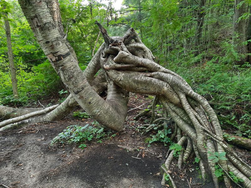
This birch tree had a struggle in its early development. Struggles can have positive outcomes.
It got the sunlight it needed to survive.
A large print of this tree adorns our living room wall.
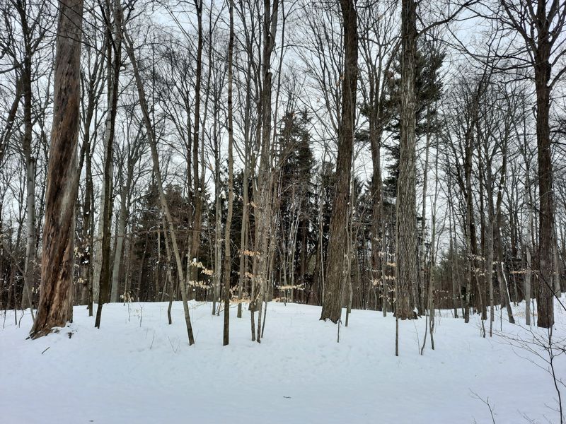
Fall & Winter Pictures
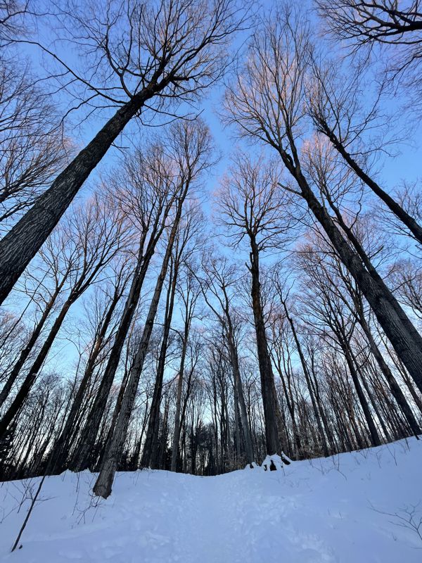
Hardwoods and Conifers - a typical southern Ontario woodlot
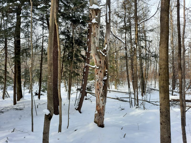
"Holy" Tree
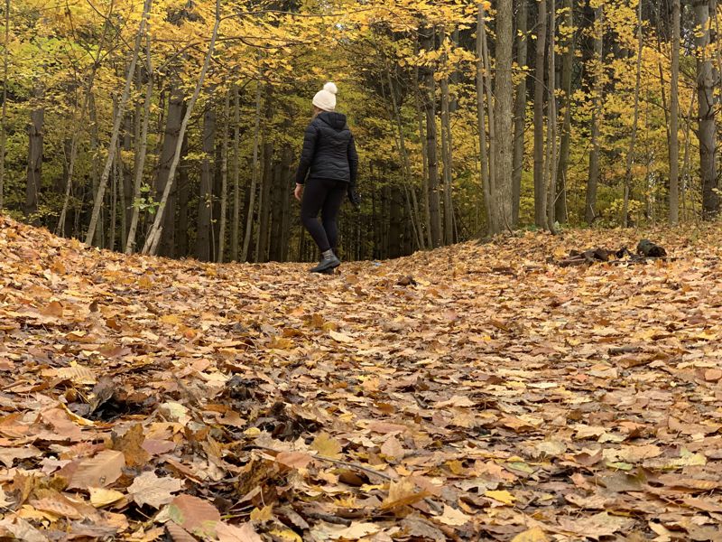
Fall at Petersburg Crown Lands
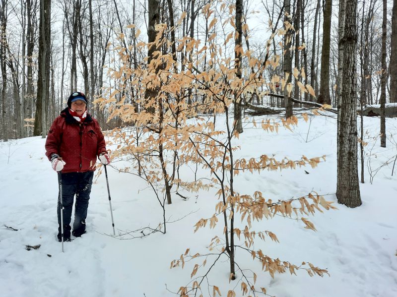
Young American Beech
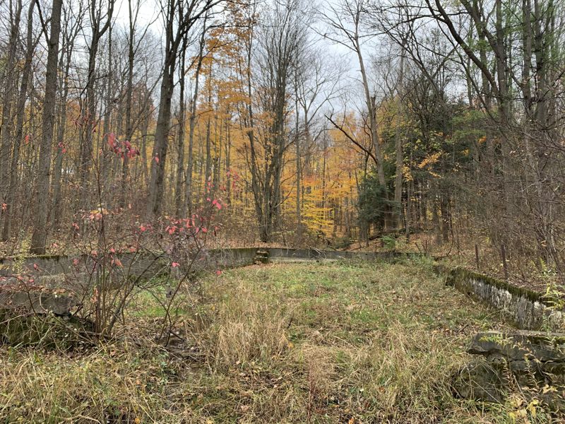
Remnants of a swimming pool at an old picnic grounds owned by Fred Knipfel "back in the day".
(1 of 2)
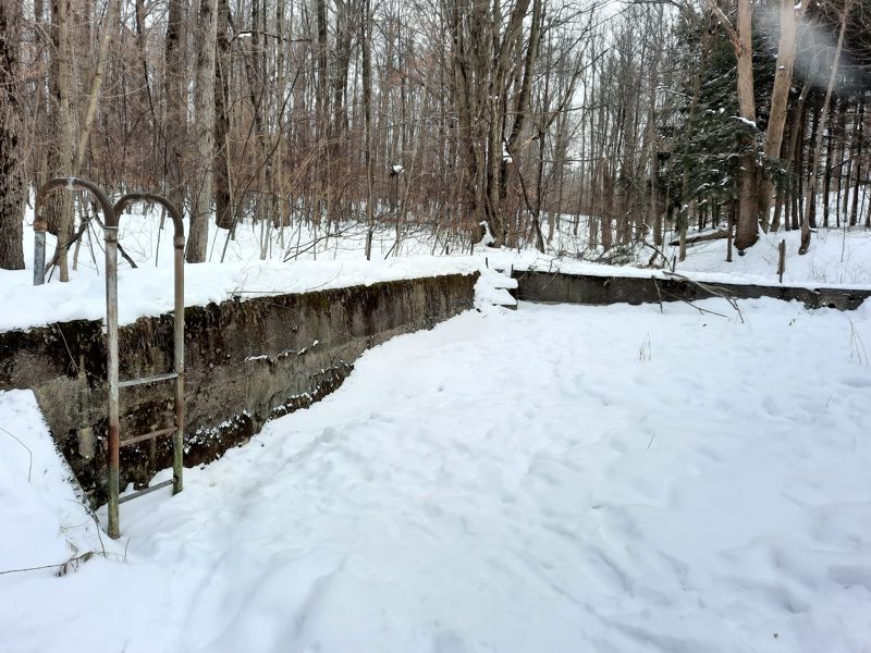
Remnants of a swimming pool at an old picnic grounds owned by Fred Knipfel "back in the day".
(2 of 2)
"Be Like A Tree"
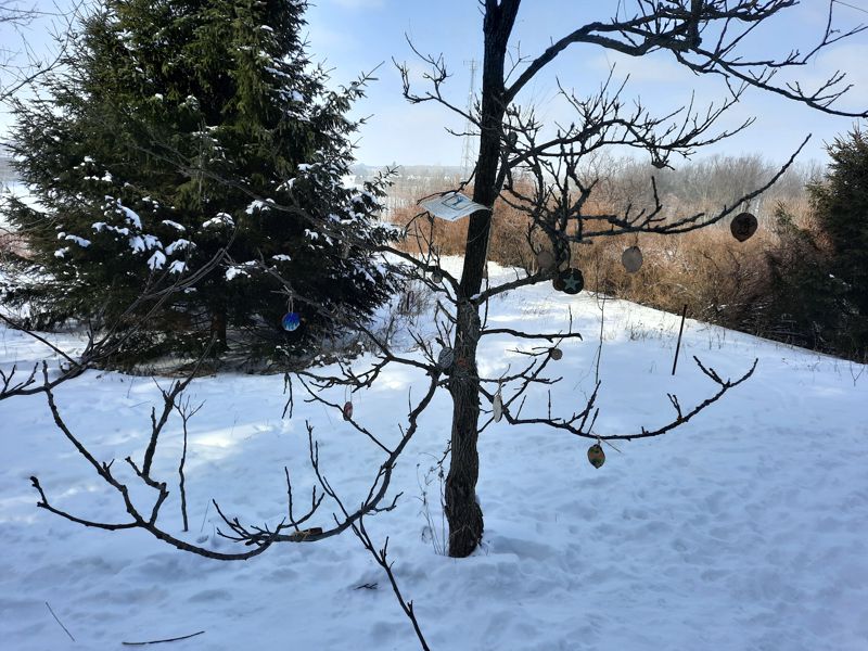
Be Like A Tree Sign
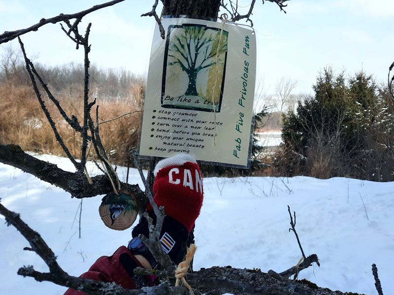
one ornament of several on the Be Like A Tree
a-PRIS-i-tee <> warmth of the sun; basking in the sun
Apricity and Other Rare Wintry Words
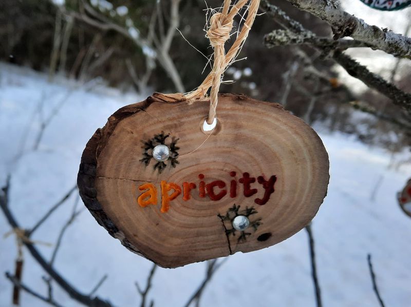
another Be Like A Tree ornament of several
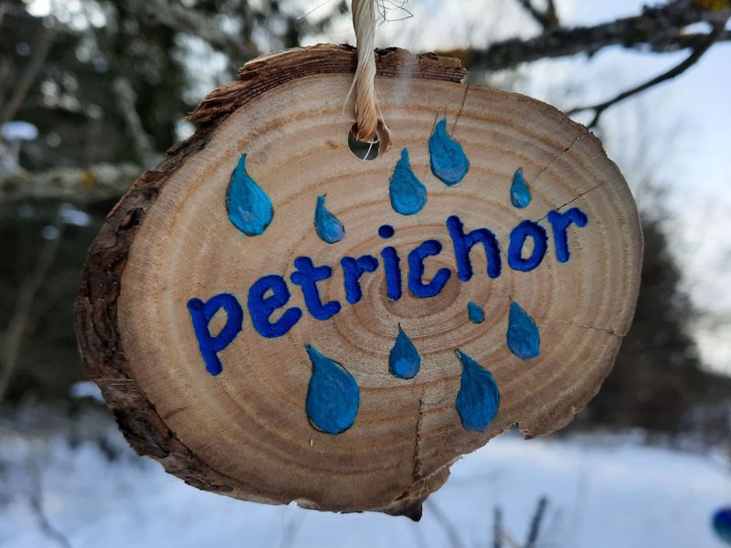
Petrichor: "a sweet smell that is produced when rain falls on parched earth"
Petrichor: why does rain smell so good? (BBC)
GPS Track of Walk in Google Map
If you walk the red coloured track only, in and out,
the total distance is about 4 km. You can increase that
distance a bit by adding the blue "Alternates". If you
continue east to Alder Creek and then walk back you are
adding another 1.5 km (approx.). NOTE: The Alder Creek
location is worth checking but be aware it may be wet
and/or muddy at certain times of the year.
GPS Tracks for Download
HELP: If clicking on the links does not provide a download option, try RIGHT clicking the link (especially the .gpx file) and then choose "Save Links As" (or equivalent) from the drop-down menu. Pick a download location (e.g. desktop) for the file.