Waterloo Loop
from Farmers Market Road
Parking Location
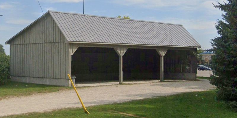
Use the Walmart car parking lot at 335 Farmers Market Rd, Waterloo. More specifically park at approximately 43.509551, -80.549641 near the Mennonite horse shed.
Description of the 6.5 km Loop Hike
NOTE: A print friendly PDF file of the list below is available for download here.
1. Walk from the Walmart parking lot past the
Mennonite horse shed out to Farmers Market Road.
2.
Left (west) along Farmers Market Road a short distance
to railroad tracks.
3. Left (south)
on asphalt Market Trail for ~185 m.
4. Right (west),
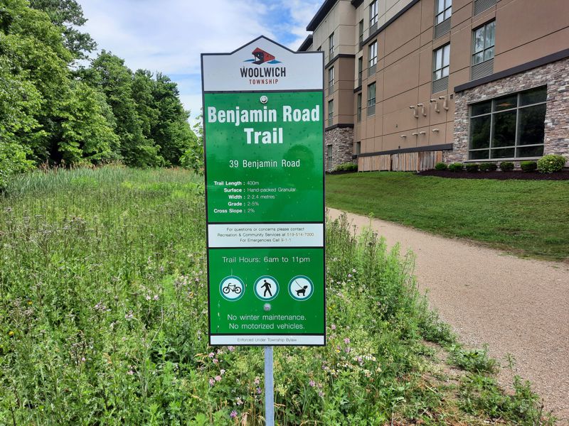
leaving Market Trail, over tracks onto Benjamin Road
Trail (asphalt).
5. Follow Benjamin Road Trail for
~380 m out to Benjamin Road sidewalk.
6. Left along
Benjamin Road sidewalk for ~375 m to traffic lights at
Weber Street.
7. Cross to the other side of Weber
Street using traffic lights.
8. Left (south) along
Weber Street sidewalk for ~98 m.
[You are passing
from Woolwich Township to the City of Waterloo.]
9.
Right (west) onto Benjamin Park Trail (Trans Canada
Trail), a wide dirt/stone dust path.
[Note that this
path parallels a shallow creek. Some maps label it as a
branch of Forwell Creek. Water in it flows eastward
towards Blue Spring Drive & the Forwell Trail. Water
collecting in Forwell Creek flows into Laurel Creek (a
bit east of Dearborn Plaza) and the water in Laurel
Creek flows into the Grand River in Bridgeport.]
10.
Follow Benjamin Park Trail for ~1.3 km to Burning Bush
Road.
11. Left (south) along Burning Bush Road &
right (south) along Northlake Drive (~225 m total) to
Northlake Woods Public School.
12. Left at house 478
Northlake Drive [43.496453,
-80.566670] passing school on north side and follow
path for ~300 m and continuing behind school and
eastward into Lakeshore Park (past Lakeshore Community
Garden) another 180 m to Sprucehurst Crescent.
13.
Right (east) along Springhurst Crescent sidewalk for
~180 m and straight across Fern Road to Fern Crescent
(looks like continuation of Springhurst Crescent).
14. Straight (east) up Fern Crescent ~200 m to & past
house 227 Fern Crescent.
15. Right (east) between
houses 227 & 229 Fern Crescent.
16. About 40 m
veer left on
narrower path into Lakeshore Optimist Park and
proceed ~180 to Northlake Drive.
17. Cross Northfield
Drive & follow Northfield Drive sidewalk ~90 m (passing
Coghill Place) to Golden Eagle Road.
18. Left (east)
along Golden Eagle Road sidewalk ~145 m to Weber Street
North.
19. Left (north) along Weber Street North
sidewalk a very short distance & right across Weber
Street North to other side using designated crossing
island at about
43.498876, -80.551486.
20. Right (south) along
Weber Street North sidewalk for ~125 m toward Parkside
Drive.
[Starbucks for snack &
washrooms at
590 Weber St N, Waterloo. Note: The satellite image
in Google Maps for Starbucks building was not updated at
time this summary was prepared.]
21.
Left (east) along Parkside Drive sidewalk (past
Starbucks, see note above) for ~300 m.
22.
Right (south) Parkside Drive sidewalk for ~ 200 m to
Northfield Drive West. [That is, Parkside Drive curves
90o right.]
23. Left (east) along Northfield Drive
West sidewalk for ~215 m past
Fire Station 3 & across
railroad tracks.
[Before continuing be sure to look
south across Northfield Drive and locate the
relatively new ION/LRT tracks and the ION/LRT Northfield
Station.]
24. Left (north) on asphalt Market Trail
for about 1.4 km to Farmers Market Road.
[NOTES: You
will immediately bypass the
Waterloo (Northfield) Train
Station. It is the train associated with the
Waterloo
Central Railway.
See train route map at
https://waterloocentralrailway.com/train-rides/#route]
25. About 400 m (at
43.501146, -80.545752) north of
Northfield Drive while on Market Trail note a
staircase/ramp that can act as an alternative route
westward & over to Weber Street North. At approximately
43.508010, -80.549910 note (on left) the Benjamin Road
Trail and Storm Water Pond. It has a short trail around
it.]
26. Right (east) on Farmers Market Road & back to
car(s) at Walmart parking lot.
Signs Near Start at Farmers Market Road
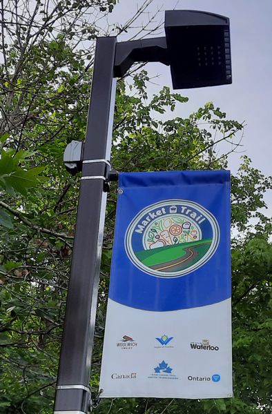
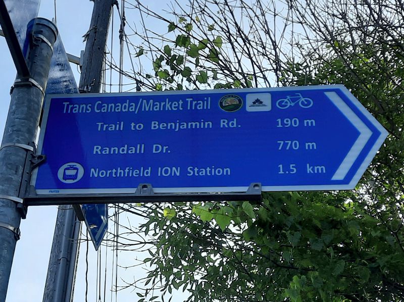
Sign Near Benjamin Road at End of New, Short Trail
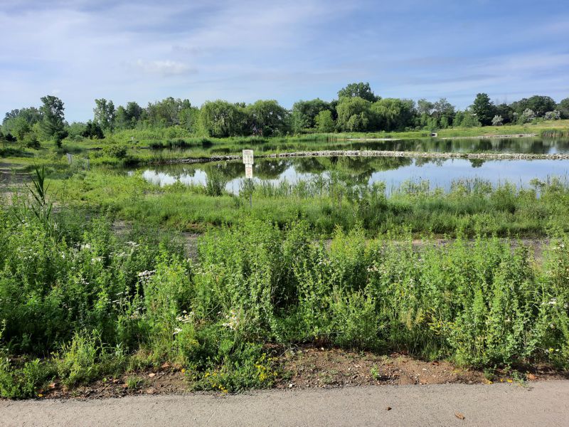
Storm Water Management Pond
as viewed from Benjamin Road Trail
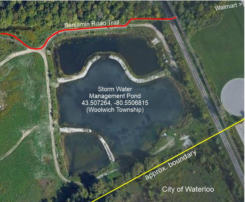
There is a short, optional
circular path around the Storm Water
Management Pond.
It is shown as a
blue line in the Google Map below.
GPS Tracks for Download
HELP: If clicking on the links does not provide a download option, try RIGHT clicking the link (especially the .gpx file) and then choose "Save Links As" (or equivalent) from the drop-down menu. Pick a download location (e.g. desktop) for the file.